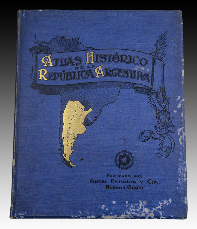

Historical Atlas of the Argentine Republic.
A. Estrada. Buenos Aires. 1909.
In Folio (37.3 x 30 cm), Title page, blank, 3 sheets, 56 pp., plus 19 plates (7 double pages) and engravings interspersed in the text. The work was written and compiled by J. J. Biedma and drawn by C. Beyer. Binding with its covers in vintage cloth, with embossing and gilding, its color slightly faded on the margins. Otherwise, copy in very good condition.
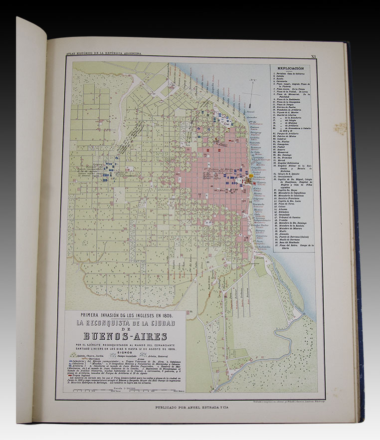
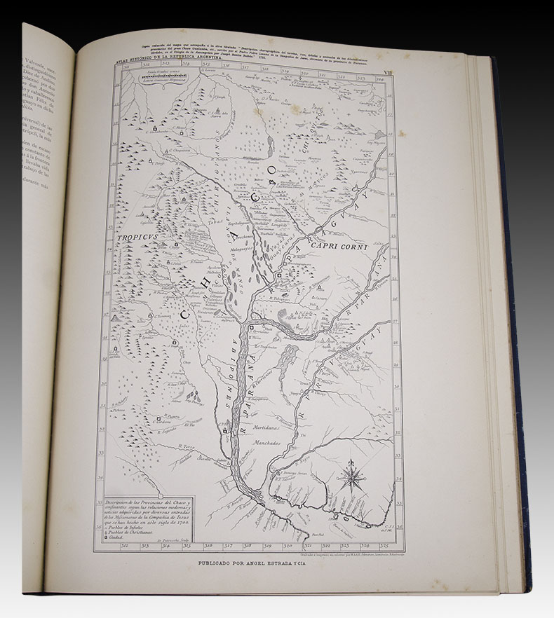
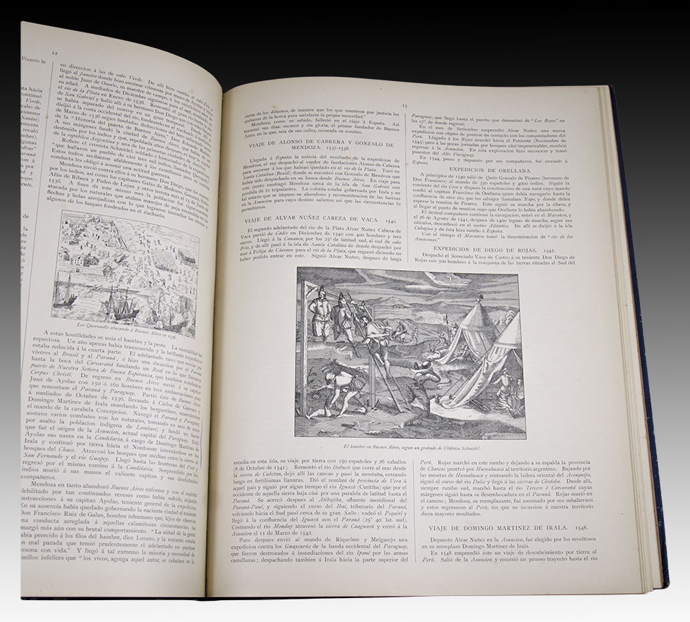
Each Plate is presented accompanied by its explanatory text, valuable information compiled from different bibliographic sources that accounts for the historical episodes that give content to each reproduced map or plan. The summary of the work extends from the terrestrial globe built by Behaim in 1492, including the time of the conquest and exploration of America, the southern provinces of the viceroyalty of Peru and the viceroyalty of the Río de la Plata, with the English invasions, the War of Independence, the Campaign of Brazil, the War of Paraguay and the civil wars and campaigns against the Indians.
Undoubtedly, it is a very valuable work for its cartographic information and for the careful edition carried out in the workshops of Ángel de Estrada y Cía. Of great interest to readers of our Latin American and Argentine history. For example, the approach to the Paraguayan War includes a general map and two exclusive plans of "The site of Curupaytí and Humaytá", and "The Pykysyry Campaign".
S.O. XV-OSM
| AUTHOR | BIEDMA, JOSÉ JUAN - BEYER, CARLOS |
|---|
Are you interested in selling some works?
Send us an email briefly indicating
which works you intend to put on sale, and we will respond. click here
Subscribe to our newsletter to be updated.
Check our Newsletters